Ready to put this into action?
Get the complete Treasure Hunter's Research Guide — Pioneer self-reliance principles — situational awareness, terrain reading, and the research mindset.
What a Silver City Map Can Prove About Mining—and What It Cannot
How can a geological map separate a real mineral district from a legendary treasure claim?
Recommended Resource
Treasure Hunter's Research Guide
Pioneer self-reliance principles — situational awareness, terrain reading, and the research mindset.
What a Silver City Map Can Prove About Mining—and What It Cannot
Source-led question: How can a geological map separate a real mineral district from a legendary treasure claim?
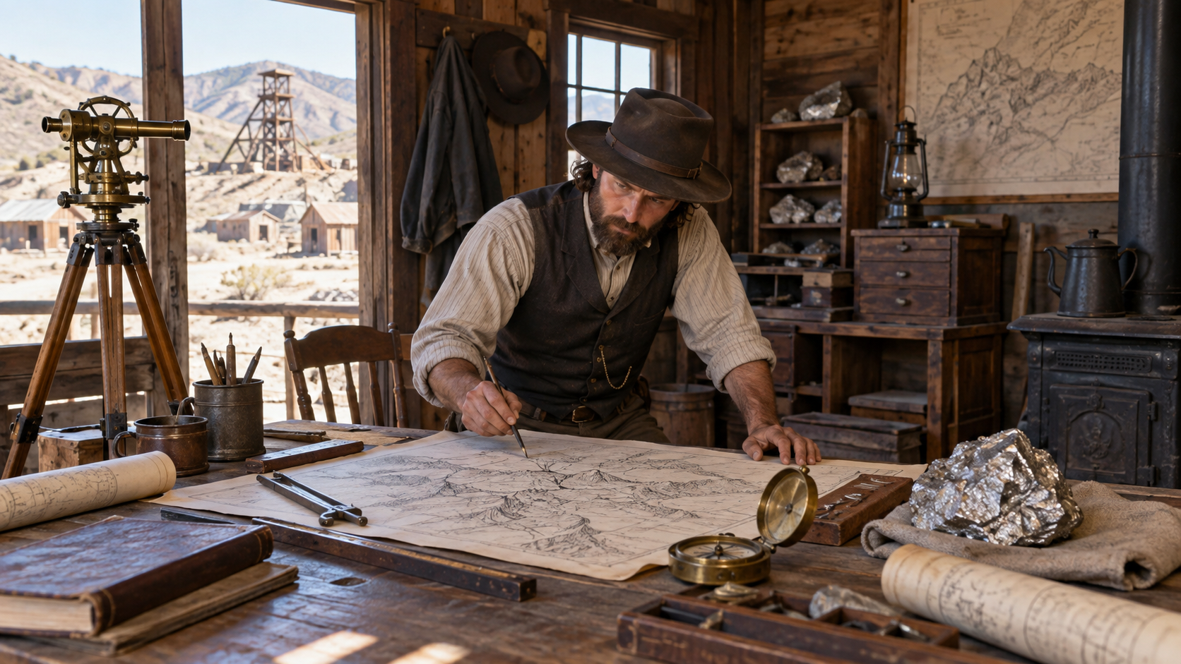
A map can make a treasure story feel certain. Lines, colors, mineral symbols, and a government seal suggest that the ground has already been explained. The USGS map of the Silver City quadrangle is valuable precisely because it shows both what a geological map can do and what it cannot. It records mineral-deposit information for a real region. It does not authenticate every story about hidden wealth in that region. Silver City developed as a mining town in southwestern New Mexico. A map places the town within a larger geological setting. It can show formations, known deposits, and the relationship between mineral districts and terrain. That information helps explain why mining took place there and why certain stories about silver or gold sound plausible. Plausibility is not proof. A mineral district can contain real deposits while a particular lost cache remains unverified. A map mayA map may explain why a mining district attracted people without proving that a specific lost cache exists.
What the record supports
- Documented: The USGS map records mineral-deposit information for the Silver City quadrangle.
- Inference: A map of mineral deposits is not a map of a particular lost cache or a guarantee of recoverable wealth.
- Documented: Historical production data can be incomplete, especially for early periods and remote areas.
- Documented: Silver City developed as a mining town with a continuing civic history.
- Inference: Geological context is strongest when its limits are stated alongside the data.
The episode uses clearly labeled synthetic reconstruction imagery for explanation. Those images are not archival photographs and do not establish that an uncertain detail was witnessed.
The source trail keeps documented facts separate from inference. The episode follows the strongest available records and leaves unresolved parts visible; a missing record is not evidence for a precise route, invented dialogue, recovered object, or modern valuation.
Continue the series
- Western Stories index
- Old West hub
- Treasure Hunting hub
- Continue with the next source trail
- Subscribe to Old West source trails
Sources
- Mineral Deposit Map of the Silver City Quadrangle — The USGS map covers the Silver City quadrangle in New Mexico and Arizona and records mineral-deposit information.
- Mineral Deposit Map plate — The map documentation cautions that production figures for some areas before 1900 are incomplete or unavailable.
- About Silver City — Silver City developed as a mining town and later preserved its historic character.
Media note: This page uses an authorized synthetic reconstruction image. The historical claims remain tied to the source links above.
Get the Treasure Dispatch
Weekly insights on treasure hunting — delivered to your inbox. No spam, unsubscribe any time.
Want to choose specific topics? Customize your interests
Get the Treasure Dispatch
Weekly insights on treasure hunting — delivered to your inbox. No spam, unsubscribe any time.
Want to choose specific topics? Customize your interests